
Streetscape 2.0 Released
July 14, 2020
Why Streetscape?
Getting the streetscape right continues to be one of the biggest challenges in urban developments. We focus on buildings, but still pay too little attention to the spaces between buildings, including streets.
In order to help with this problem, we released the first version of Streetscape back in 2005 as a quick and simple way of testing design ideas for streets. Later, we included it in CityCAD as a cross-section editor for streets.
For more guidance on designing residential streets, we recommend the Manual for Streets.
You can browse these easily on a map, or you can search for particular types with numerical criteria. For example you can type ‘Show me streets about 10m wide’, or ‘Show me housing next to a railway’ or ‘Show me public spaces in Italy about 1.2ha’ and it will give you a list. Then click on a feature to see details.
What's new?
The basic idea is unchanged from 2005.
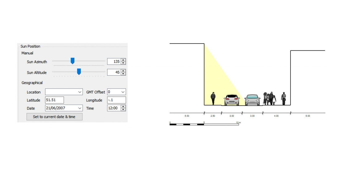
First, create a set of ‘streetscape elements’ – pavements, vehicle lanes, bus lanes, cycle lanes, parking or reservations. Next, change their widths and arrange them in any order across the street. As you do this, Streetscape will automatically draw a cross-section and plan diagram so you can visualize the street environment in the context of buildings on either side. Finally, you can add advanced parameters such as the number of units per entrance and see analysis of how much on-street parking there is for each unit.
So what’s changed?
First, we have refreshed the user interface with a ribbon toolbar.
Secondly, we have improved the graphics of pedestrians and vehicles in the dragrams, and added graphics for cyclists.
Thirdly, we have integrated Streetscape with our urban design database. This means that if you are working on a design, and the corridor is 25m wide, you can quickly view a list of real-world streets of the same width.

How much does it cost?
We want to make it as easy as possible for consultants, planners and others to visualize complete street designs.
Because of this, Streetscape remains completely free to use for both commercial and non-commercial use.
How can I get Streetscape?
Streetscape is available as a Windows app. To get the setup file, go to our downloads page.
Integration with CityCAD

You can still save your street designs as SSP files, and import them into CityCAD. After doing this you can include the design in your 3D model and add objects such as parklets and electric vehicle charging points.