
Streetscape
A quick tool for exploring street cross-section designs, available free of charge.
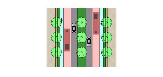
Streetscape is a simple, easy to use Windows app for creating street cross-section designs. It is free of charge, quick to download and no sign-up is necessary.
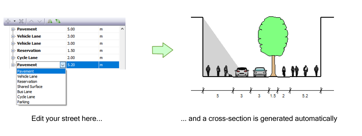
Add elements such as pavements, cycle lanes, and vehicle lanes, enter widths and the heights of adjacent buildings, and quickly see what those numbers look like on an automatically-generated cross section drawing.
Streetscape was first released in 2005 and was the first product created by the company. We have since created customized versions for local governments and others who want to enable fast creation and testing of street designs. Contact us if you would like to discuss options for your organization.
What can you do with Streetscape?
Test ideas quickly
Create and define streetscape elements such as pavements and cycle lanes, arrange them in order and watch as a cross section is automatically created.
Visualization
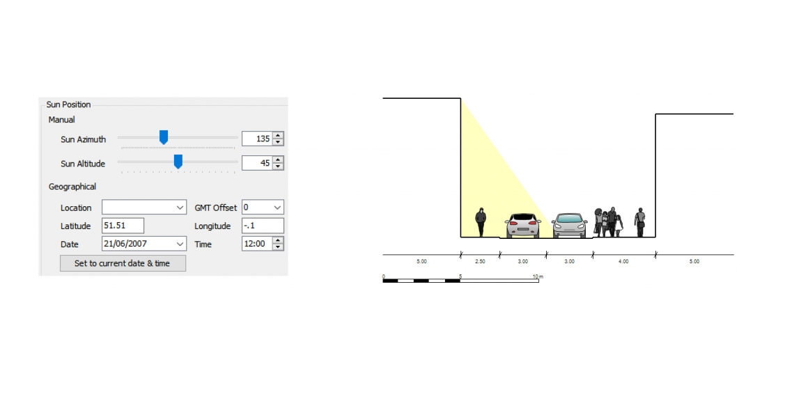
Specify a geographic location and orientation of your street, and see which parts of your street will be in shade at different times.
Street design analysis
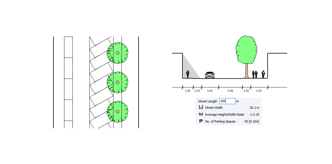
Add on-street parking and test different configurations, then watch as total numbers of on-street parking spaces are estimated in seconds.
Communication
Create sketch drawing visualizations and simple animations of your street design in plan and section.

Import your street design into CityCAD
Street designs created in Streetscape can be easily imported into CityCAD and applied to streets in an information-rich 3D urban model.