
Urban design database
Search on a map for examples of urban streets, spaces, grids and housing projects.
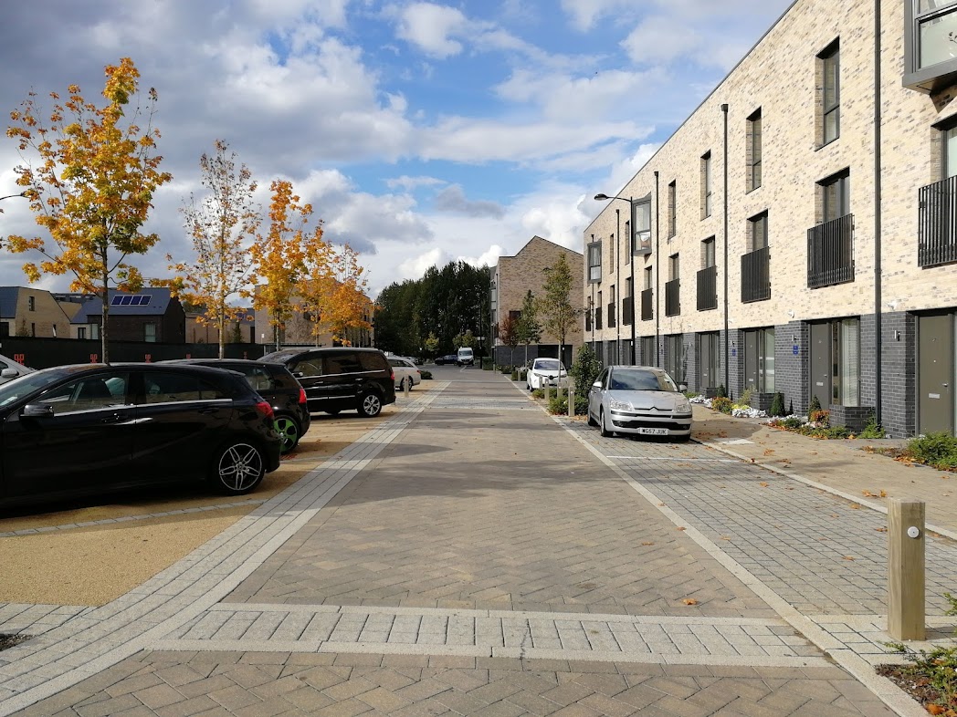
The urban design database is a free tool for urban designers, planners, engineers and architects (and anyone else who is interested) who want to quickly find real-world examples of urban streets, spaces, housing projects, street grids and junctions.
For example, are you working on a 20m wide street corridor, and want to see examples of how other streets of the same width are organized? Simply type 'streets 20m wide' into the search box and review the list.
The database also includes a large number of housing projects, urban gridirons of different sizes, road junctions and urban spaces.
Entries in the database are tagged, for example with 'cafes', 'trees', 'bus lane', 'cycle lane', 'waterside', 'railway', 'trams', 'retail' and 'fountain', allowing you to search for very specific types of case study. For example, search for 'housing projects next to water', 'circular urban spaces in Italy' or 'streets 40m wide with trams'.
An upgrade to the Urban Design Database is in our roadmap for 2026.